Geoconnect is a specialist GNSS Dealer and offers Rugged Computing and Software Solutions

ProFlex 500 CORS

ProFlex 500 CORS is a Continuously Operating GNSS Reference Station. It is designed to collect, store, and transfer high quality GNSS raw data. Advanced CORS features are all included and easy to access and configure by users and network administrators. The ProFlex 500 CORS is an all-in-one robust solution, with fully integrated communication components.

Featured highlights

  • High quality GNSS raw data
  • User-friendly web interface
  • CORS and field campaign GNSS receiver
  • Meteorological and tilt sensors control

ProFlex 500

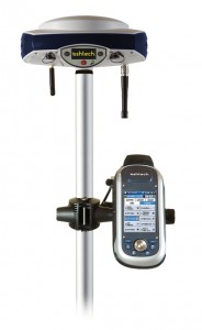
ProFlex 500 is a powerful GPS+GLONASS positioning solution that delivers state-of-the-art RTK in a rugged, highly integrated receiver. Its innovative design makes it the ideal solution for onboard system integration – it can be mounted easily on a ship or a vehicle for sea or land operations – and it is also a perfect backpack rover or base station solution for onshore surveying.
Featured highlights

  • BLADE™ GNSS technology
  • Enhanced RTK accuracy
  • Built-in communications
  • Rugged design


Field Terminal FT-1

The Ashtech FT-1 field terminal is a rugged and easy-to-use hardware platform that enables fast and efficient GNSS data collection. Delivered as standard with the Ashtech FAST Survey field software, the FT-1 provides full control over your GNSS survey receiver.
Featured highlights

  • Extremely rugged
  • Bluetooth and Wifi
  • Windows Mobile 6.1
  • All-day battery life

ProMark 500

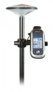
The ProMark 500 RTK rover and rover/base system offer GPS+GLONASS field-proven technologies for surveying and geodesy. Embedded BLADE Technology insures fast initialization, long-range accuracy, and high availability of satellites in difficult environments.
Featured highlights

  • Advanced BLADE Technology
  • All-in-one Flexibility
  • All-day Intensive Use

ProMark 200

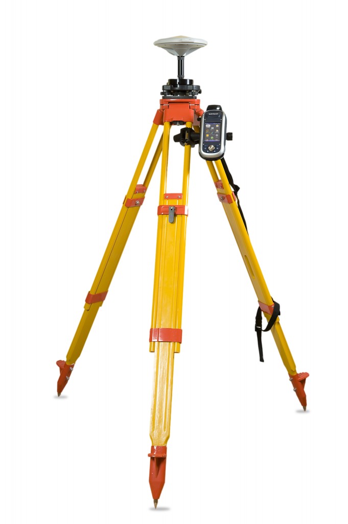
ProMark 200 is the most cost-effective dual-frequency network RTK solution. Embedded Ashtech BLADE technology provides long-range RTK performance, fast initialization and centimeter-level accuracy. Together with the comprehensive Ashtech FAST Survey field software, the ProMark 200 meets the demanding expectations from professional land surveyors. The mix of exceptional RTK performance and compact design makes the ProMark 200 an extremely powerful and appealing network RTK rover solution.

Featured highlights

  • All-in-view, dual-frequency rover
  • Fast fix with short initialization time
  • Built-in wireless connectivity
  • Minimal cost for maximum productivity

ProMark 100

ProMark 100 is the most versatile post-processing solution designed for easy and efficient land survey. Thanks to the embedded Ashtech BLADE technology, GPS and GLONASS signals tracking, as well as short occupation time, ProMark 100 delivers the best possible measurements, even in the very obstructed conditions. Combined with the intuitive ProMark Field software, ProMark 100 is an extremely attractive solution for any surveyor.

Featured highlights

  • Outstanding GPS & GLONASS performance
  • Extended productivity in obstructed conditions
  • Unpaired ease-of-use in the field
  • Versatile solution: post-processing, RTK, GIS

MobileMapper 10

Compact and lightweight, MobileMapper 10 is a complete, easy to use mapping solution for real-time collection of meter accurate data.

With MobileMapper 10, organisations will improve the quality of their georeferenced information and their productivity with direct positive impact on operational costs.

Featured highlights

  • Real time metre accuracy
  • Ready to use mapping solution
  • Integrated communications
  • Outstanding battery life
  • Ruggedised for professional use

SuperPAD 3


SuperPad 3 is a full-function mobile GIS application. It comes with SuperPad and SuperPad Studio.
SuperPad 3 comes with SuperPad, full-function mobile GIS software, and SuperPad Studio, the development framework to customize SuperPad.

SuperPad contains the powerful and complete GIS functions as well as a superior C/P ratio to help field-based personnel to collect, edit, display and measure spatial data at a reasonable budget. The highly flexible development environment and diversified extensions enable you to create an ideal platform and solve more demands during field tasks. Moreover, SuperPad allows synchronizing the data with enterprise server to improve your work efficiency.

Nautiz X7

 Ahead of the curve

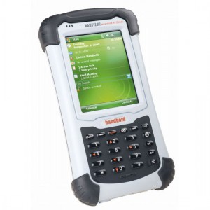
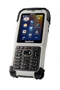
The Nautiz X7 exemplifies the evolution of handheld computers. Packed with innovative advancements in PDA technology, it surpasses everything else on the market with its mix of power, functionality and ruggedness. The Nautiz X7 can do everything you need to do – and some things you may not have even known you could do.

Performance begins with speed and power, and the Nautiz X7 offers a lively 806 MHz Xscale processor, with 128 MB of onboard RAM and a generous 4 GB of Flash storage. And this field-ready workhorse will go all day and more, with a 5600 mAh Li-ion battery that will operate up to 12 hours on a single charge.

Nautiz X3

Pocket-sized powerhouse

It’s not one thing that makes the Nautiz X3 ® a breakthrough in handheld technology – it’s the unbeatable combination of small size, big performance, extreme ruggedness and remarkable value. The Nautiz X3 is like nothing else on the market.

The most noticeable thing about the Nautiz X3 is its compact size. This handheld takes the concept of “rugged and mobile” to a new level, measuring just 150x67x25 mm and weighing only 260 grams. It fits naturally in one hand, and you can tuck it away just about anywhere when you’re not using it.

But small size can still deliver big performance. With GSM/GPRS/EDGE and UMTS/HSDPA capability, the Nautiz X3’s superior voice and data transmitting quality offers performance of a smartphone, plus the capabilities of a computer.