Geoconnect is a specialist GNSS Dealer and offers Rugged Computing and Software Solutions

Nautiz X5

Packed with performance

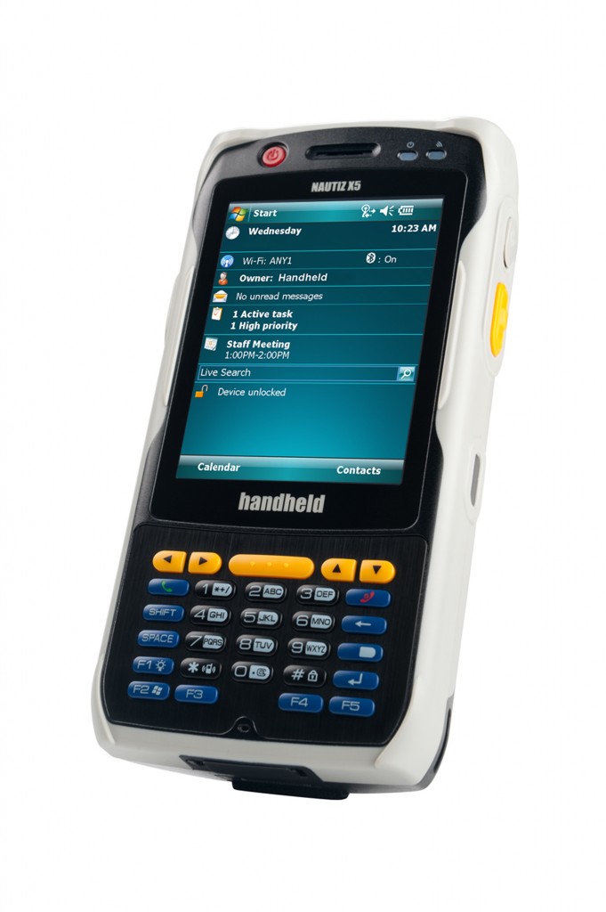
The Nautiz X5® is a versatile PDA that delivers a category-leading combination of performance features in a small but rugged package. The Nautiz X5 is designed to provide everything you need for optimum in-the-field computing performance – a total package of unmatched capabilities in a rugged format.

First, the Nautiz X5 is fast and powerful. Its high-speed 806 MHz Xscale processor, 256 MB RAM and 512 MB Flash memory makes it a mobile computer can keep up with your work rate. And it is easy to use and practical. With Windows Mobile 6.1, a full VGA daylight visible screen, and a battery that lasts more than a full workday on a single charge this handheld takes desktop computing efficiency out into the field.

ULink Rx & TRx

Radio link is critical for GNSS applications as the quality of real-time corrections guarantees reliable data collection and accurate positioning. The new U-Link radios exceed the standard by offering costeffective, high-quality data links:

  • Extended UHF performance
  • Rugged and lightweight transmitter casing
  • High-sensitivity radios
  • Low power consumption
  • IP65 aluminum casingRepeater mode

ProMark Field

ProMark Field is a software program designed for generalpurpose land survey applications. ProMark Field runs on Windows Mobile 6.5.
ProMark Field allows you to determine positions of points with centimeter precision through one of two types of projects:

MobileMapper Field

MobileMapper Field and Office Software 

Complete solution:
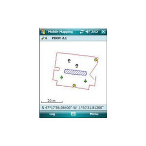
The Ashtech MobileMapper software suite includes all GIS features that professionals really need without the burden of complicated and rarely used functions. It also provides a direct interface to external sensors such as range laser finders.

Fast Survey


FAST Survey software is a graphical field solution designed to optimize the functionality, performance and control of the Ashtech receivers for topography and construction applications. FAST Survey provides innovative, flexible support for a wide range of instruments and data formats (including other GNSS receivers brand and total stations).

Featured highlights

  • Easy Data Collection
  • Colourful graphics
  • Main handheld devices supported

Compatible with a wide range of measurement tools (GNSS receivers, Total Station…)